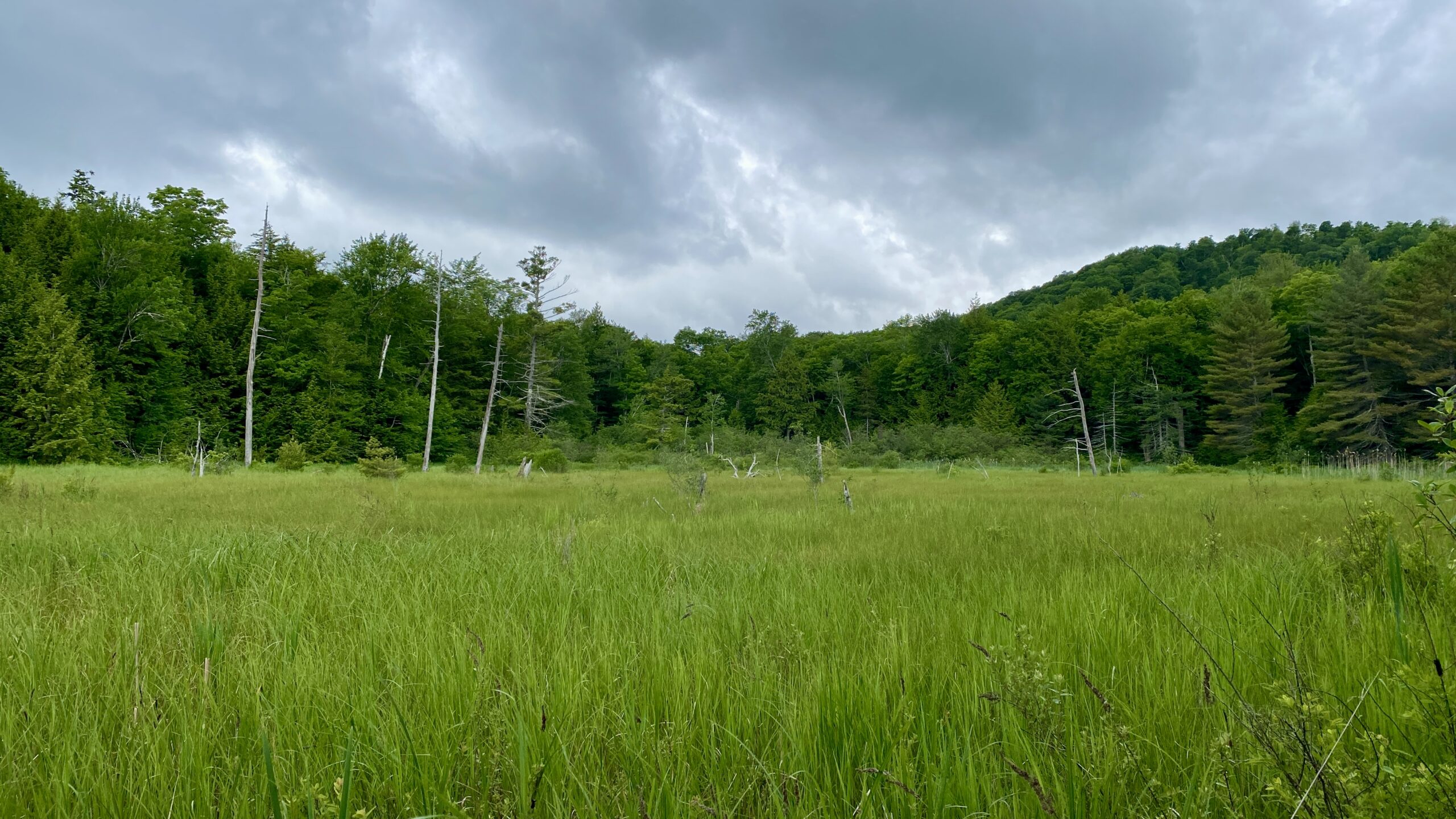
Photo: Westerly view of “Wright Swamp”, an 8-acre wetland in the headwaters of the Bull Creek.
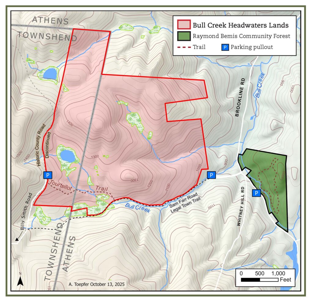
The conserved Bull Creek Headwaters area comprises 341 acres in Athens and Townshend. This land hosts many different forest and wetland types and is both a haven for wildlife and an important resource for water quality and flood resilience.
In contrast to the Raymond Bemis Community Forest, the headwaters area is remote and rugged. The new Tourtellot Trail, which will be completed in Spring 2026, connects the rocky, unmaintained, Sam Farr legal trail in Athens to the discontinued County Road in Townshend. Starting from the Townshend side, it is a gentle hike to the big wetland, but you will need a high-clearance vehicle to reach the parking.
Use Guidelines
BCCL lands are open to the public for respectful, low impact, pedestrian use. Experienced backcountry explorers are welcome to walk off trail.
• Excluded are bicycles, boats, horses and motorized vehicles.
• Dogs must be on a leash.
• Hunting and fishing are allowed in accordance with Vermont seasons and laws.
• Written permission is required for tree stands and game cameras.
• Please see the management plan document in the sidebar for additional details.
The Headwaters land was acquired, conserved, and a long-term management fund created, with support from the Open Space Institute, Vermont Housing and Conservation Board, The Nature Conservancy, Fields Pond Foundation, Davis Foundation, Windham Foundation, many generous community members, and anonymous donors. Vermont Land Trust holds a perpetual conservation easement on the land, ensuring that it will not be developed.
Bull Creek Common Lands’ Bull Creek Headwaters Project was supported through the Open Space Institute’s Appalachian Landscapes Protection Fund, which supports the protection of climate resilient lands for wildlife and communities. The Fund is made possible thanks to major support from the Doris Duke Foundation and additional funding from Lyndhurst, Riverview, and Tucker Foundations, and Jack McKee.
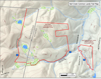
Digital Map
This downloadable PDF map is geo-referenced and can be used in GPS app.
Land Management
The primary goal for the Bull Creek Headwaters land is to protect and enhance the ecological resources. Much of the newly conserved forest is in an early successional phase of growth after recent timber harvesting by the previous owners. The immediate management priorities are controlling invasive species and supporting forest regeneration.
A copy of Bull Creek Common Lands’ master land management plan is available below. Public comments are welcomed.

Please reach out if you have any comments and/or questions: hello@BullCreekCommonLands.org